Touch GIS Provides Free Access with GeoInt

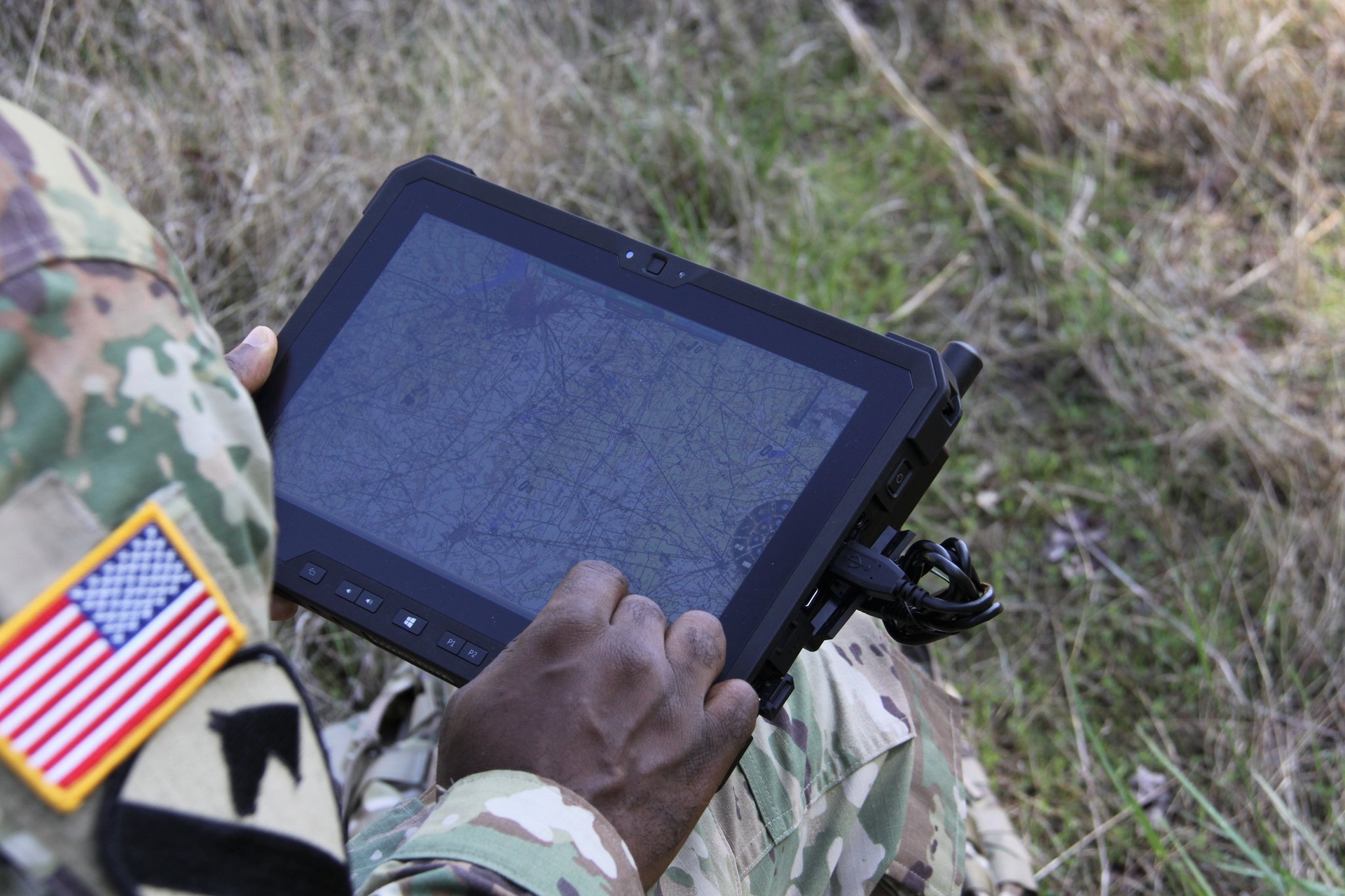
Touch GIS is one of the latest mobile data collection apps to be launched for the field workforce. It has many of the professional field collection and visualization capabilities needed for successful fieldwork including offline workflows, and support for many file-based spatial formats. SpatialTimes hasn’t done a full review of the app yet, but it’s worth mentioning that Touch GIS just announced it is now available at no cost to credentialed U.S. government employees, first responders, and the Department of Defense.
“We’re very excited to offer Touch GIS on the GEOINT App Store” says Joe Wilson, Head of Product. “Touch GIS is useful for a wide variety of field uses, and offers best-in-class data collection, mapping, and visualization tools. The app is especially helpful when working offline. The best part? It runs on the device that’s already in your pocket!”
GEOINT App Store Access
Touch GIS is now available at no cost from the National Geospatial-Intelligence Agency (NGA) for approved users via the GEOINT App Store. The GEOINT App Store provides online on-demand access to GEOINT content and services through mobile apps, web apps, and web services. GEOINT is available to all Department of Defence (all apps), Federal Government and Mission Partners (limited apps).
Public Access, NPO, and Education
If you don’t qualify for the no cost GEOINT version, Touch GIS is still available to the general public from Apple’s App Store. Pricing is reasonable and Touch GIS also offers a free trial and special rates for non-profit groups and educational institutions.
Helpful Links
If you found my writing entertaining or useful and want to say thanks, you can always buy me a coffee.

